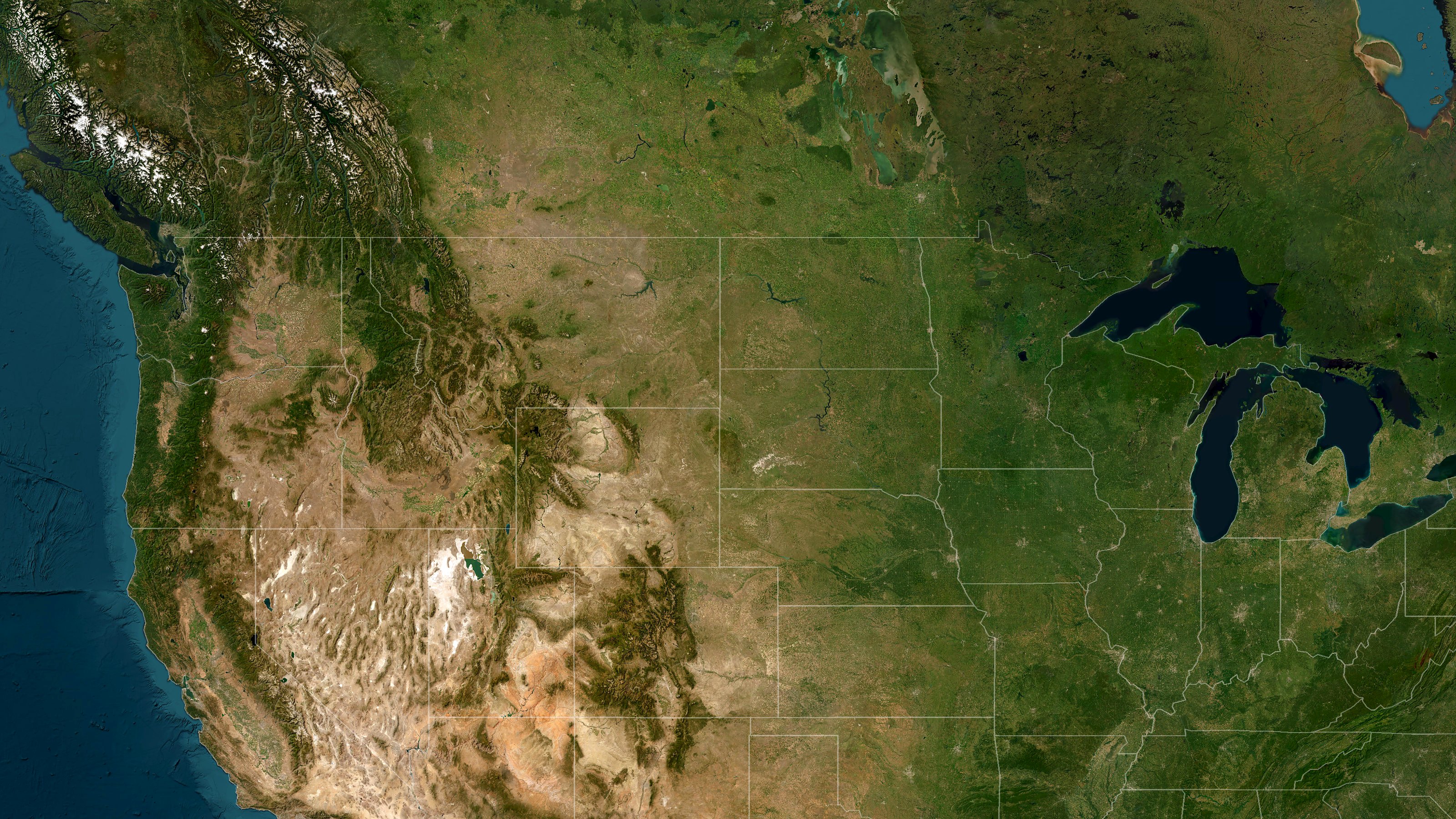
Imagery: Esri, Maxar, Earthstar Geographics · Boundaries: U.S. Census Bureau
About twenty miles north of Belle Fourche, South Dakota, in a cattle pasture in Butte County, lies the geographic center of the United States — all fifty states, from Maine to Hawaii and Alaska.
Its coordinates are 44°58′ north, 103°46′ west. Written without the symbols, they become the name of this site: 4458N 10346W.
There is no town at the center, no gift shop, and most days nobody at all. There is a survey marker, a flag, and grass and sky in every direction. The pages that follow explain what the numbers mean, how a quiet pasture came to be the middle of America, and how to go and stand there.
Every place on Earth can be named by two angles: how far north or south of the equator it lies, and how far east or west of the Prime Meridian at Greenwich, England. Each degree is divided into sixty minutes.
A "geographic center" is the point on which a flat map of the country would balance if it were cut from a sheet of uniform thickness. The National Geodetic Survey notes that there is no single agreed definition, and the result depends on how the shape is drawn. The figure here is the one announced by the U.S. Coast and Geodetic Survey in 1959.
The center of a country is not fixed. When the country changes shape, the balance point moves with it.
Because the true center lies in a working pasture, Belle Fourche built its monument in town. A 21-foot compass rose of South Dakota granite, encircled by the flags of the fifty states, sits beside the Tri-State Museum & Center of the Nation Visitor Center.
It is the place most travelers come to stand at the middle of the country — easy to reach, open year-round, and a short drive from Spearfish and Interstate 90.
The true center lies about twenty miles north of Belle Fourche, in open rangeland in Butte County.
A flag flies over the site, and survey markers are set into the ground beneath it. Around them is nothing but shortgrass prairie, sagebrush, and the long horizon of western South Dakota.
The land is private and grazed by cattle. The owners have chosen to leave it as it is, which is part of its appeal: the center of the nation looks very much as it did when it was first measured.
The marker stands on a working ranch. Visitors have long been tolerated, but please treat it as someone's home: close any gate you open, keep clear of livestock, and leave nothing behind.
Open the point in Google Maps →
There are no services beyond Belle Fourche. Bring water, sturdy shoes, and a full tank. After rain, gravel roads can be difficult. The visitor center can confirm current conditions.
The center sits where the Great Plains meet the northern edge of the Black Hills, one of the great road-trip regions of the country.
A short drive south of Belle Fourche. The canyon's scenic byway winds past limestone walls and waterfalls into the hills.
America's first national monument rises from the plains just across the Wyoming line, an easy day trip from the center.
The Gold Rush town of Wild Bill Hickok and Calamity Jane, and the home of the summer motorcycle rally.
In the heart of the Black Hills, south of Rapid City, about two hours from the center.
The view on the opening page looks down on the middle of the continent. The ring at its center marks 44°58′N 103°46′W, just east of where Montana, Wyoming, and South Dakota meet.
Drone photography of the marker and the surrounding prairie is coming soon.
Share a story, a photograph, a correction, or a question. Messages come to Brian Demsey in Spearfish, about an hour from the center.